- Select a language for the TTS:
- UK English Female
- UK English Male
- US English Female
- US English Male
- Australian Female
- Australian Male
- Language selected: (auto detect) - EN
Play all audios:
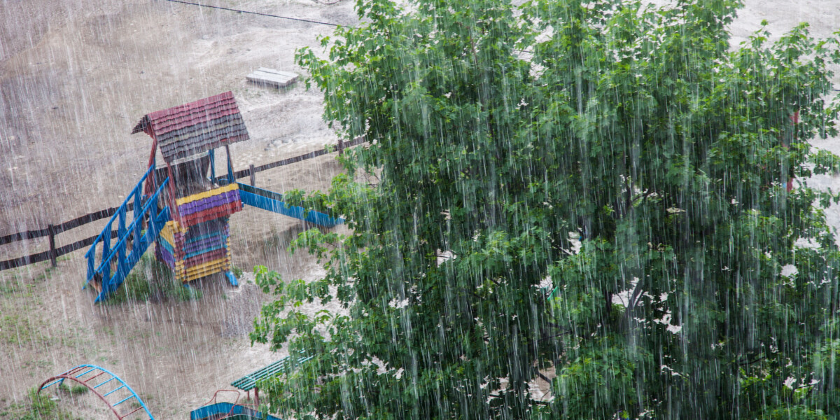
IT COMES AFTER STORMS, HEAVY RAIN AND HIGH WINDS HIT THE COUNTRY ON TUESDAY Another day, another diagonal band of weather warnings stretching from France’s south-west to its north-east
corner. Covering around two-thirds of French departments, the alerts are for storms, heavy rain and flooding. This comes AFTER STORMS AND HEAVY RAIN DEVASTATED PARTS OF THE COUNTRY yesterday
(June 20). Wednesday (June 21) morning is set to see the calm before the storms of the afternoon and evening. They are expected to develop in the south-west after lunch, bringing the risk
of intense rain and hail, according to METEO-EXPRESS.COM. By the evening, the storms are predicted to affect an area stretching from Aquitaine to Bourgogne. A level-three orange warning -
the second-highest level - is in place for 19 French departments from 21:00 on Wednesday and into the night. They are: Ardennes, Meuse, Marne, Aube Yonne, Nièvre, Loiret, Cher, Indre,
Creuse, Haute-Vienne, Correze, Dordogne, Charente, Lot, Lot-et-Garonne, Tarn-et-Garonne,Gers, Haute-Garonne. Three of these departments - Loiret, Cher, and Indre - also have an orange
warning for heavy rain. Fourty-six other departments are on a lower, yellow warning. You can see the full list of affected areas on the official Météo France website HERE. It is a similar
picture on Thursday (June 22), with weather warnings covering the majority of the country. But in contrast to previous days, the unsettled weather is set to affect the south-east corner of
the country. Orange warnings urge people to remain very vigilant as dangerous weather is predicted. Yellow ones ask those in affected regions to exercise caution outside and keep up to date
with weather forecasts. READ ALSO WATCH: HIGH WINDS AND HAIL BATTER FRANCE AS A HEATWAVE HITS CORSICA


