- Select a language for the TTS:
- UK English Female
- UK English Male
- US English Female
- US English Male
- Australian Female
- Australian Male
- Language selected: (auto detect) - EN
Play all audios:
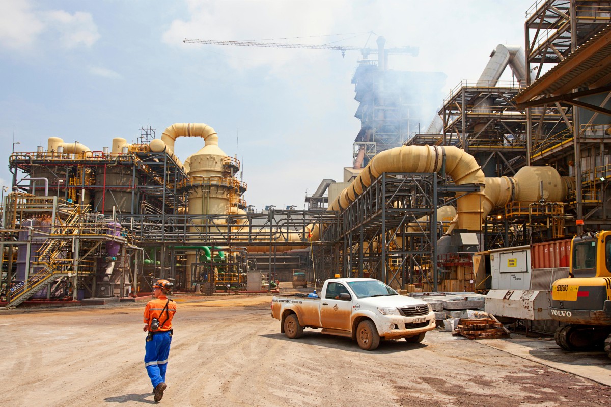
Lire en français Emissions from mining operations in Africa’s Copper Belt can be measured from space, new research has shown. The study published in _Geophysical Research Letters_, showed,
for the first time, that satellite monitoring could provide valuable data on the impact of mining activities on air quality in nearby towns and villages. The researchers used satellite
measurements of atmospheric composition from TROPOspheric Monitoring Instrument (TROPOMI), which onboard the European Space Agency’s Copernicus Sentinel-5 Precursor satellite (S-5P), to
identify local spikes in nitrogen dioxide. By combining these satellite measurements with local wind patterns, the researchers were able to quantify the amount of nitrogen oxides emitted per
time unit in several copper belt sites: four mines, and two cities with high pollution industrial activities. “This research will help us better understand the severity and scope of impacts
on mining areas like the Copper Belt, while also giving us a tool for estimating the growth of mining activities in remote regions that are driving those impacts,” says Pieternel Levelt,
director of National Center for Atmospheric Research (NCAR), Atmospheric Chemistry Observations and Modeling Lab and senior author of the paper. Africa's Copper Belt is a mining region
located between Democratic Republic of Congo (DRC) and Zambia, and it’s the world's largest cobalt producer, which holds almost half of the world reserves. Over the years, the region
recorded exponential increase (about 600% between 1990 and 2021) in cobalt production, due to growing global demand for smartphones, electric car batteries, laptops, amongst other devices
that rely on lithium-ion batteries, which contain cobalt. The production leads to increased burning of diesel fuel, which produces nitrogen oxides.