- Select a language for the TTS:
- UK English Female
- UK English Male
- US English Female
- US English Male
- Australian Female
- Australian Male
- Language selected: (auto detect) - EN
Play all audios:
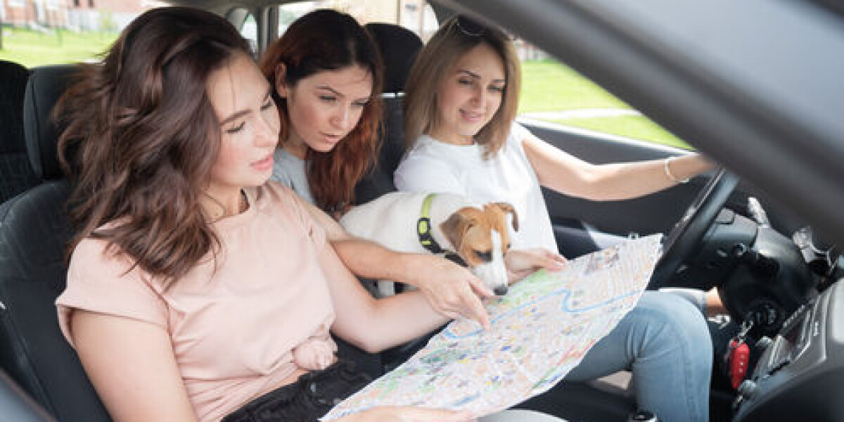
THEY MAY HAVE GONE OUT OF FASHION, BUT YOU NEVER KNOW WHEN A PHYSICAL ROAD MAP WILL COME IN HANDY WHILE TRAVELLING ACROSS FRANCE READER QUESTION: WHAT ARE THE BEST ROAD MAPS TO USE WHEN
TRAVELLING ACROSS FRANCE, WITHOUT HAVING TO BUY A SATNAV? These days, using a GPS does not mean you necessarily need a satnav – if you have a smartphone, there are plenty of apps that will
get you to your destination. These are not specific to France – popular apps include Google Maps, Apple Maps and Waze. A 2021 climate law imposed new rules on such apps. For example, all
apps in France must now provide information about towns that have a low-emissions zone where your car should carry one of the Crit’Air stickers showing its category. You might prefer to
stick to a physical map, in which case there are a few different options. Perhaps the best-known is Michelin, which sells national, regional and departmental road maps. It also produces an
_atlas routier_ (road atlas) if you want maps of the main roads as well as details of 40 French towns. The national institute of geographic and forestry information (IGN), a public body that
produces maps and other geographical data, also sells its own road maps. It provides a guide to its different types, as some focus more on navigation, while others feature a smaller scale
and have more information about tourist attractions. See: here. Another useful site when planning a journey is viamichelin.fr. This allows you to compare different routes in terms of the
time they will take, but also how much they will cost you. It will take into account tolls, as well as fuel costs according to the type of car RELATED ARTICLES MOTORISTS HIGHLIGHT ISSUES
WITH FRANCE’S FIRST FREE-FLOW TOLL MOTORWAY HOW TO SAVE ON RISING MOTORWAY TOLLS IN FRANCE MAP: SEE FRANCE’S LOW EMISSION DRIVING ZONES - AND PLANS FOR NEW ONES