- Select a language for the TTS:
- UK English Female
- UK English Male
- US English Female
- US English Male
- Australian Female
- Australian Male
- Language selected: (auto detect) - EN
Play all audios:
SEVERAL AREAS IN THE SOUTH-WEST ARE FACING HEIGHTENED ALERTS. RAINS COULD LAST UNTIL FRIDAY WHEN FROSTY WINDS BRING WEEKEND ‘COLD SNAP’ France is gearing up for a barrage of rain, with
forecasts predicting wet weather for nearly the entire week. Starting from today (December 11), patches of heavy rain will hit, particularly in the centre, south-west, and east of the
country. Seven departments have been placed on a tier-three orange warning for either heavy rain/flash flooding – Savoie, Haute-Savoie, Isère – or high river levels: Deux-Sèvres, Corrèze,
Dordogne, Gironde. Savoie and Haute-Savoie are facing heightened warnings for both phenomena. Later in the week rain will arrive in the north, moving inland from the Channel, continuing
until Friday when a high-pressure burst of air moves in from the British Isles. This wind will bring temperatures down to below average and could bring sleet to the north and snow to the
east. A mini ‘cold snap’ will be more prominent due to the warmer than average current temperatures. The national average temperature on Monday is predicted to be 12.4C – double the monthly
average of 6C – whilst on Saturday it is forecast to be 4.1C. It is predicted to stay below 6C until at least December 21, and potentially through the entire holiday season. EXTENDED
RAINFALL ACROSS CENTRAL BELT Rain is forecast to last throughout the day in many areas, including the Loire valley, the Alps, the east (Jura/Alsace), the north of the Nouvelle-Aquitaine
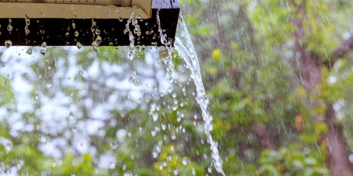
region, and in Bourgogne. It will be heaviest in the east, where the three mountainous departments are facing flash flooding alerts. The photo below from Ventusky shows the level of rain in
the south this morning at 10:00. Cartes de prévision météo In the area around Dordogne and Corrèze, rains will be heaviest in the morning, before subsiding in the afternoon. However, they
will not stop completely, leading to the warnings of high river levels. You can see which rivers are affected using the official VIGICRUES website. Elsewhere in France, more than 50
departments are facing tier-two yellow warnings, either for heavy rain, strong winds, river flooding, strong coastal waves or for potential avalanches. You can keep up to date with the
warnings through the _Météo France_ WEBSITE. These warnings are likely to be updated throughout the day, and more departments could be put on heightened alert if rains stay at a strong
level. RAIN TO LAST MOST OF WEEK The intensity of rainfall is expected to decrease on Tuesday, however rains will not stop completely, with most of the areas facing rains today continuing to
do so tomorrow (December 12). This will be the case for much of the week – especially in the north, untouched by heavy rainfall at the beginning of the week, but potentially facing poor
conditions on Tuesday and Wednesday (December 13). Thursday (December 14) will see temperatures begin to drop to slightly below average across parts of the country, and rains will stop north
of the Loire due to the arrival of high-pressure winds from the British Isles. Snow will also begin falling again on Thursday in higher altitude mountain areas. This wind will hit almost
all of the country by Friday (December 15), stopping all rainfall but potentially bringing snow at levels of 600m in the east. RELATED ARTICLES WHAT TO DO (AND NOT DO) DURING HEAVY RAIN AND
FLOOD ALERTS IN FRANCE PHOTOS: SEVEN BEAUTIFUL CHRISTMAS MARKETS IN FRANCE