- Select a language for the TTS:
- UK English Female
- UK English Male
- US English Female
- US English Male
- Australian Female
- Australian Male
- Language selected: (auto detect) - EN
Play all audios:
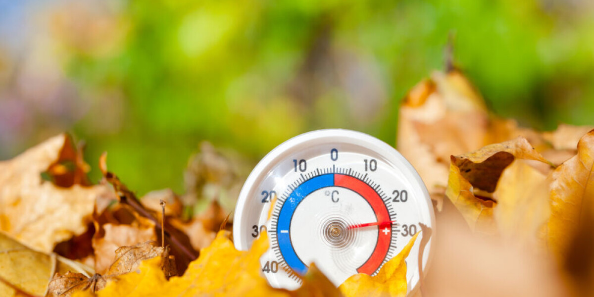
WARM MEDITERRANEAN WINDS WILL SEE TEMPERATURES REACH UP TO 30C ONCE THE STORMS DISAPPEAR France is set to experience another burst of warm weather towards the end of this week, with
temperatures across the entire country hovering significantly above September averages. A warm flow of air rising north from the Mediterranean sea is the reason for the rise, say
forecasters. The temperatures will rise after the stormse currently sweeping through most of France depart. There are 83 departments facing tier-two storm warnings throughout the course of
Tuesday (September 12), with some warnings continuing into Wednesday. From Wednesday, overnight temperatures could be as high as 18C in most of the country, with highs during the day of 28C.
Towards the weekend, however, these may increase to 19C and 30C respectively. It is unlikely though that any further official heatwave (_canicule_) warnings will be declared even if the
temperatures are higher than average. STORMS WILL NEED TO PASS FIRST Tuesday’s storms will have to pass before temperatures can climb again. The current set of storms sweeping across France
have dropped temperatures by around 5C from where they were at the start of the week – although they will still be above seasonal averages for September. As the storms move eastwards
throughout the day a number of departments will face tier-two warnings, with 83 departments overall facing storm warnings at some point. You can see a full list of departments facing
warnings on the official _Météo France_WEBSITE. If you click on the ‘orages’ tab on the right hand side and then the play button underneath the map, a video of the map will play showing how
the warnings will change throughout the day. Wednesday will see some warnings remain in place – largely in the east – before the storm moves further across Europe by the end of the day. READ
MORE: STORMS IN FRANCE: WHAT TO DO IF AT HOME, OUT WALKING OR IN CAR END OF STORMS BRING MORE HEAT When the storms end temperatures will increase again by 3C or 4C above seasonal averages.
It means temperatures of up to 30C could be recorded – most likely in the south but possibly in the north – and almost all of France will see temperatures at 20C or higher. Most places will
see maximum daytime temperatures between 26C and 29C during the weekend. Night-time temperatures are expected to be around 15C and 19C until Sunday. Next week will start with more storms
which are set to bring the temperatures back down to seasonal averages, after which they are unlikely to rise significantly again. Forecasters predict that this could be the third-hottest
September ever recorded in France. RELATED ARTICLES: STORM ALERT LEVEL HEIGHTENED IN SOUTH WEST FRANCE