- Select a language for the TTS:
- UK English Female
- UK English Male
- US English Female
- US English Male
- Australian Female
- Australian Male
- Language selected: (auto detect) - EN
Play all audios:
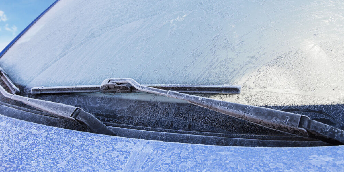
IT WILL BE PARTICULARLY COLD IN THE EAST WHERE UP TO 30CM OF SNOW IS FORECAST FOR HIGHER ALTITUDES France prepares for a second temperature drop this week as a northern wind descends,
bringing frosty mornings, and in higher altitude areas, snowfall. Already cold on Monday (November 27), a second dip in temperatures is expected for Tuesday, with lows of -9C in Jura and -8C
in Vosges on Tuesday night. The dip will bring snow to the area, initially in areas between 200m - 800m above sea level today, but on Tuesday the snow is set to fall at altitudes close to
sea level. Around a dozen departments in the east are on alert for icy conditions this morning. Elsewhere, Pas-de-Calais has returned to a tier-three orange warning for floods, as it
continues to be battered by rain and high river levels. A new concern for residents of areas close to the rivers is that the floods have deposited toxic materials in soils, making fruits and
vegetables grown there unsafe to consume. EAST WILL SEE WINTRY COLD, SOUTH WILL BE COOLER THAN USUAL The northern wind will bring temperatures down to below average levels, but for those in
the south, autumnal weather may still remain. In areas close to the Mediterranean and south-west, temperatures will remain in the mid-teens (reaching as high as 15C in Perpignan and 18C in
Nice), although chilly morning temperatures are expected. In Toulouse, the lows of 0C and highs of 12C are expected throughout the week, and on Sunday recorded its first negative morning
temperatures alongside Bordeaux. Rain across almost all of the northern and central parts of France today will contribute to keep conditions cool (with highs of 5C in the east), although the
brunt of the polar wind will arrive from Tuesday. In many larger cities, highs of only 3C are expected, including in Lyon, Metz, Strasbourg, and Dijon on Tuesday. On Tuesday night, the
winds will bring temperatures even lower, just shy of -10C in more rural areas. This is following a day where the highest figures recorded may still be in the minus figures in the Jura and
Savoie departments, particularly at higher altitudes. Some forecasts are predicting a slight increase in temperatures on Wednesday, however the change will only be minor and by Thursday
snows will continue to fall. SNOW ON THE WAY Monday’s snow will be mostly consigned mostly to mountainous regions in the east (particularly the Alps), where snow will fall in most places
500m above sea level. As the week progresses – and temperatures drop further – snow will begin to fall at lower and lower altitudes, as well as with increasing vigour in the higher
mountains. By Wednesday, most places in the east should have seen some snowfall, and in the centre of the country, hilly areas may see small patches of snow. At the highest levels, between
30cm and 50cm of snow could cumulatively fall before the weekend. In the west, however, temperatures are still too high for any snow. The presence of the snow means warnings for avalanches
and icy roads/black ice will become more frequent. You can keep up with weather warnings in your department using the _Météo France_ WEBSITE. RELATED ARTICLES HOW CAN I GET TO THE SKI
RESORTS IN FRANCE? MAP: THE FRENCH AREAS THAT REQUIRE SNOW TYRES THIS WINTER