- Select a language for the TTS:
- UK English Female
- UK English Male
- US English Female
- US English Male
- Australian Female
- Australian Male
- Language selected: (auto detect) - EN
Play all audios:
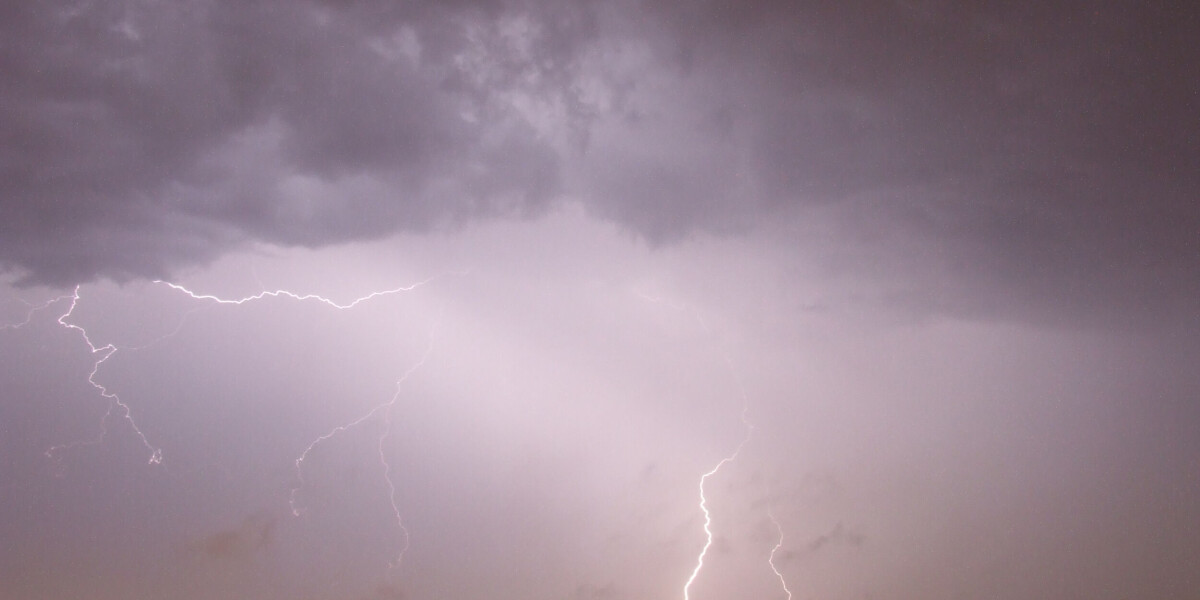
TEMPERATURES COULD HIT AS HIGH AS 30C ON FRIDAY BEFORE MORE UNSETTLED WEATHER ARRIVES ON SUNDAY Stormy weather will return to France this weekend after sunshine on Thursday (June 15) and
Friday (June 16). After weeks of inclement conditions in the south of the country, most areas are now calm and set to remain that way for the rest of the working week. Temperatures will rise
to an average of 30C and sunshine is forecast. However, the break in the weather will be slight; storms will return to the west and then much of the country as we move towards Sunday (June
18). Thunderstorms will gather as a result of spiking temperatures “from the night of Saturday, June 17 to Sunday, June 18, across the Atlantic coast and the Pays Basque”, said meteorologist
Yann Amice TO ACTU.FR. HIGH TEMPERATURES Temperatures will remain high, forecasters say. The mercury will hover around or exceed 30C in several regions over the weekend, including in the
east on June 18. Mr Amice said: “Warm air from the Sahara could push the mercury even higher, then an Atlantic low will push in, bringing with it colder air at higher altitudes which will
trigger the thunderstorms from this weekend onwards.” RECORD JUNE June 2023 is set to be among the top three hottest in the country since 1930 (along with 2003, 2017, and 2022), with the
current average national temperature around 2.5C higher than the norm for the first 10 days of the month so far, said Météo France. > 🌡️📊#Juin2022 entre dans les 10 mois de juin les plus
chauds > depuis 1900 🇫🇷 > > 🔴6 de ces 10 mois de juin les plus chauds, ont eu lieu ces 10 > dernières années. > > 🔺juin 2003 > 🔺juin 2017 > 🔺juin 2022 > 🔺juin
1976 > 🔺juin 2005 > 🔺juin 2021 > 🔺juin 2019 > 🔺juin 2018 > 🔺juin 1950 > 🔺juin 2015 https://t.co/bZ0roIUO87 > — Météo-France (@meteofrance) July 1, 2022 DROUGHT AND
GROUNDWATER LEVELS It comes as France is experiencing drought conditions and times of low groundwater levels. Even heavy rain in the summer months is not as useful as one might expect, as
the water tends to be taken up by the plants, rather than seep into the underground water table. The north of France particularly has seen a significant lack of rain, with the
Paris-Montsouris station not having recorded rain for 26 days in the north of France, from May 16 to June 10. The thunderstorms of June 11 brought just 4.4 mm of rain, Météo France said. And
in Lille and Strasbourg, no rain of more than 1mm has been recorded since May 16. In recent weeks, the north of Europe has been caught in a ‘blocked’ situation, caused by an anticyclone
pressure centred over the British Isles and the north of France, causing a lack of rain, and storms in much of southern France and southern Europe. As a result of the dry weather last year
and continuing into this year, two-thirds of groundwater table levels in France are currently under the norms for the season, Ecological Transition Minister Christophe Béchu has highlighted.
This puts much of the country at high risk of drought this summer. RELATED ARTICLES TWO-THIRDS OF FRENCH GROUNDWATER IS STILL BELOW NORMAL LEVELS STORMY SOUTH, NICE IN NORTH: WHAT IS
CAUSING FRANCE’S WEATHER SWITCH? THIS IS HOW THE FRENCH GOVERNMENT PLANS TO DEAL WITH FUTURE HEATWAVES