- Select a language for the TTS:
- UK English Female
- UK English Male
- US English Female
- US English Male
- Australian Female
- Australian Male
- Language selected: (auto detect) - EN
Play all audios:
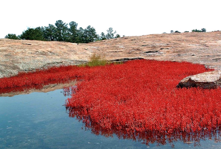
By David Pendered Georgia’s population boom of the past 35 years is just the latest contributor to environmental challenges facing metro Atlanta and much of the state’s Piedmont region. Past
activities to cultivate trees, crops and animals set the stage for today’s conditions, according to a state report. The draft “2015 State Wildlife Action Plan” portrays Georgia’s Piedmont
eco-region as a place settlers altered in order to develop the land for agricultural uses – farms for crops, livestock and trees. A public comment period on the draft plan ended last week.
The Georgia Department of Natural Resources intends to continue developing the plan. Farmers changed the very nature of the forest to provide timber and other products that were commercially
valuable. For example, the report observes: * “Former conversion of forest and woodland habitats to agricultural uses resulted in the loss of most of the original upland forest (generally
described as oak-hickory-pine forest, but containing a wide variety of subtypes) in this region. … * “Conversion of remaining upland hardwood and pine-hardwood forests to pine plantations
also presents problems for wildlife. Specific problems associated with this forest conversion include loss of vegetative structural diversity and nesting sites, decline in hard and soft mast
production, loss of understory and groundcover species diversity, and physical disturbance of habitat for organisms found in leaf litter or soil.” On the heels of this development came the
population boom that dates to the 1970s. Statewide population almost doubled from 1980 to the 2014 estimate: 5.5 million in 1980, to 10.1 million in the 2014 estimate from the Census. A
great proportion of the newcomers landed in metro Atlanta, and the report observes other Piedmont cities with significant growth include Augusta, Gainesville, Columbus, and Athens. To
accommodate this population growth, agricultural land and forests in the Piedmont region gave way to residential and commercial developments, the report notes. Here’s a snapshot of land use
change from 2006 to 2011: * 2 percent increase in developed land; * 4 percent decrease in forest cover; * 2 percent increase in wetland land cover; * 27 percent increase in early
successional vegetation, an indication of timber cutting. This snapshot covers only a five-year period. In addition, the report shows the dramatic changes in prior years – the period from
1974 to 1998: * “A decrease in row crop/pasture (from 19.47 percent of total land cover to 15.51 percent); * “An increase in high-intensity and low-intensity urban (from 4.86 percent of
total land cover to 9.57 percent); * “An increase in clearcut/sparse vegetation (from 3.82 percent of total land cover to 7.38 percent); * “A decrease in deciduous/mixed forest (from 38.23
percent of total land cover to 33.98 percent); * “A slight decrease in evergreen forest (from 28.86 percent of total land cover to 28.17 percent). Projections show the population growth will
continue. This ongoing growth is part of the reason Georgia is updating its wildlife management plan. Georgia’s population growth rate is forecast at 46 percent by 2030, taking the state’s
population to 14.7 million, according to a projection made in 2010 by Georgia’s Office of Planning and Budget. OPB helps the governor draft a budget. Metro Atlanta is to remain the highest
population density in the state, with substantial growth forecast in the northern and coastal counties, the report states. The urban and suburban development creates a number of
environmental challenges, according to the report: * “Habitat loss and modification attributed to increases in urban and suburban areas represent the primary threats to wildlife diversity in
Georgia. These impacts include stream habitat losses due to construction of water supply reservoirs, habitat fragmentation from construction of roads and utility corridors, and conversion
of natural habitats to developed areas.” _RELATED POSTS_
